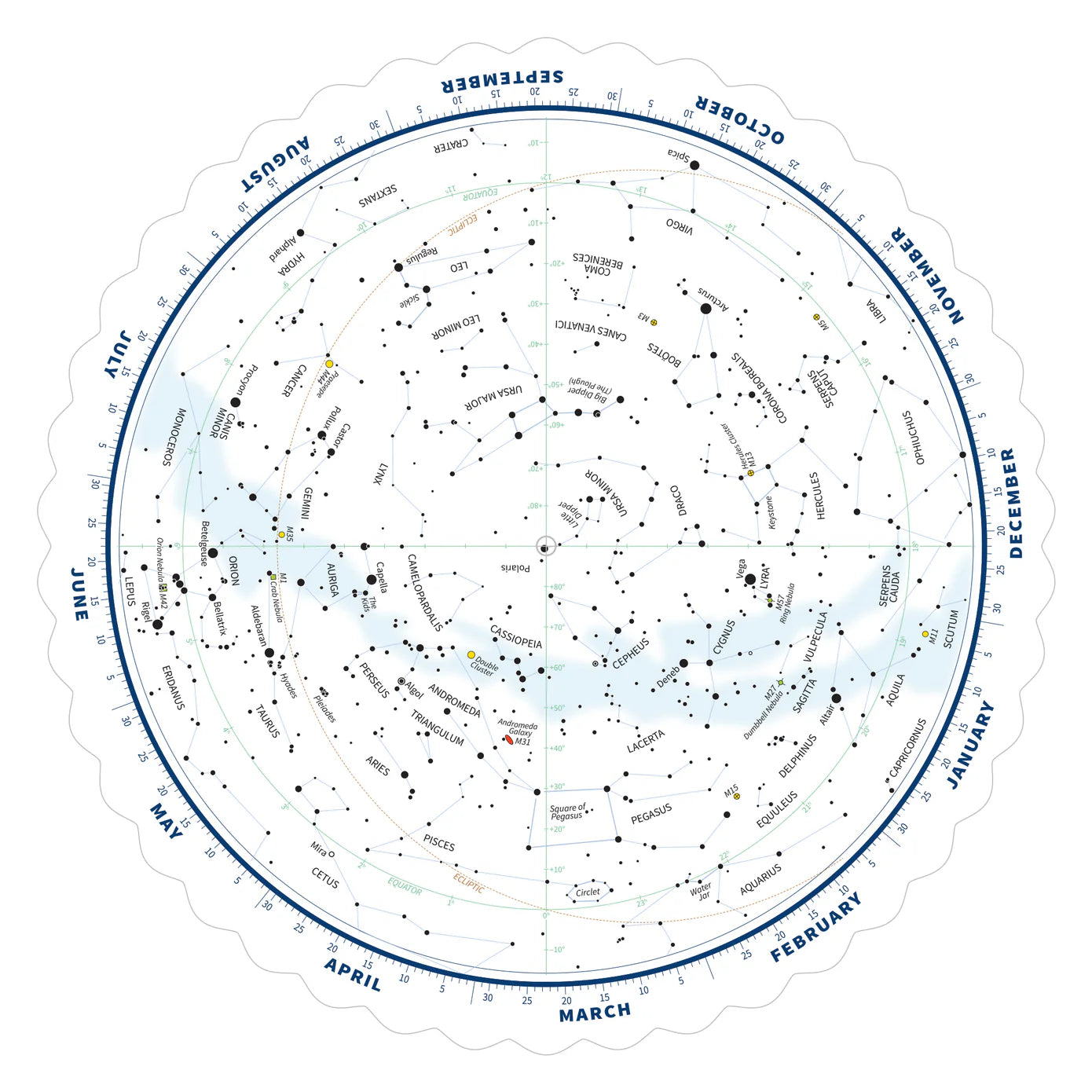

Tirion Double-Sided Multi-Latitude Planisphere
Tirion Double-Sided Multi-Latitude Planisphere is backordered and will ship as soon as it is back in stock.
Shipping & Returns
Shipping & Returns
We offer free US standard shipping on orders over $99 and 30-day returns on most items. Some limitations apply.
Shipping Policy
30-Day Return Policy

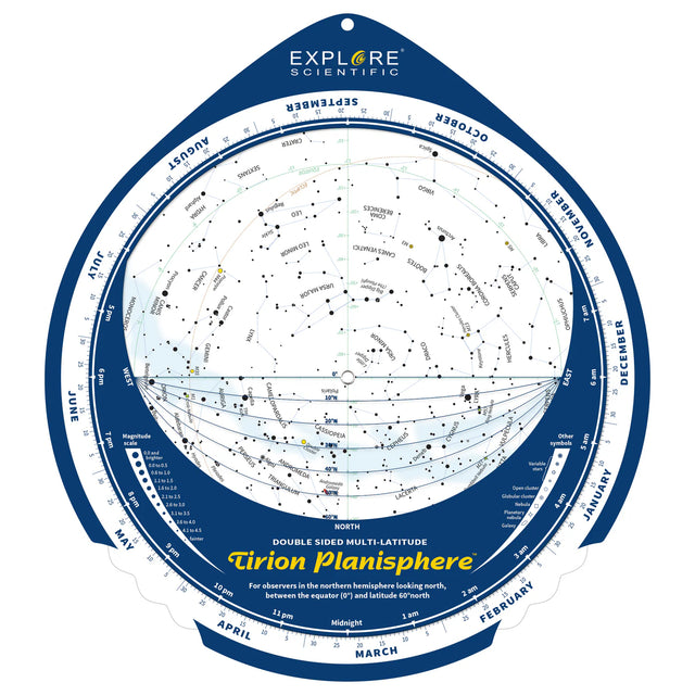
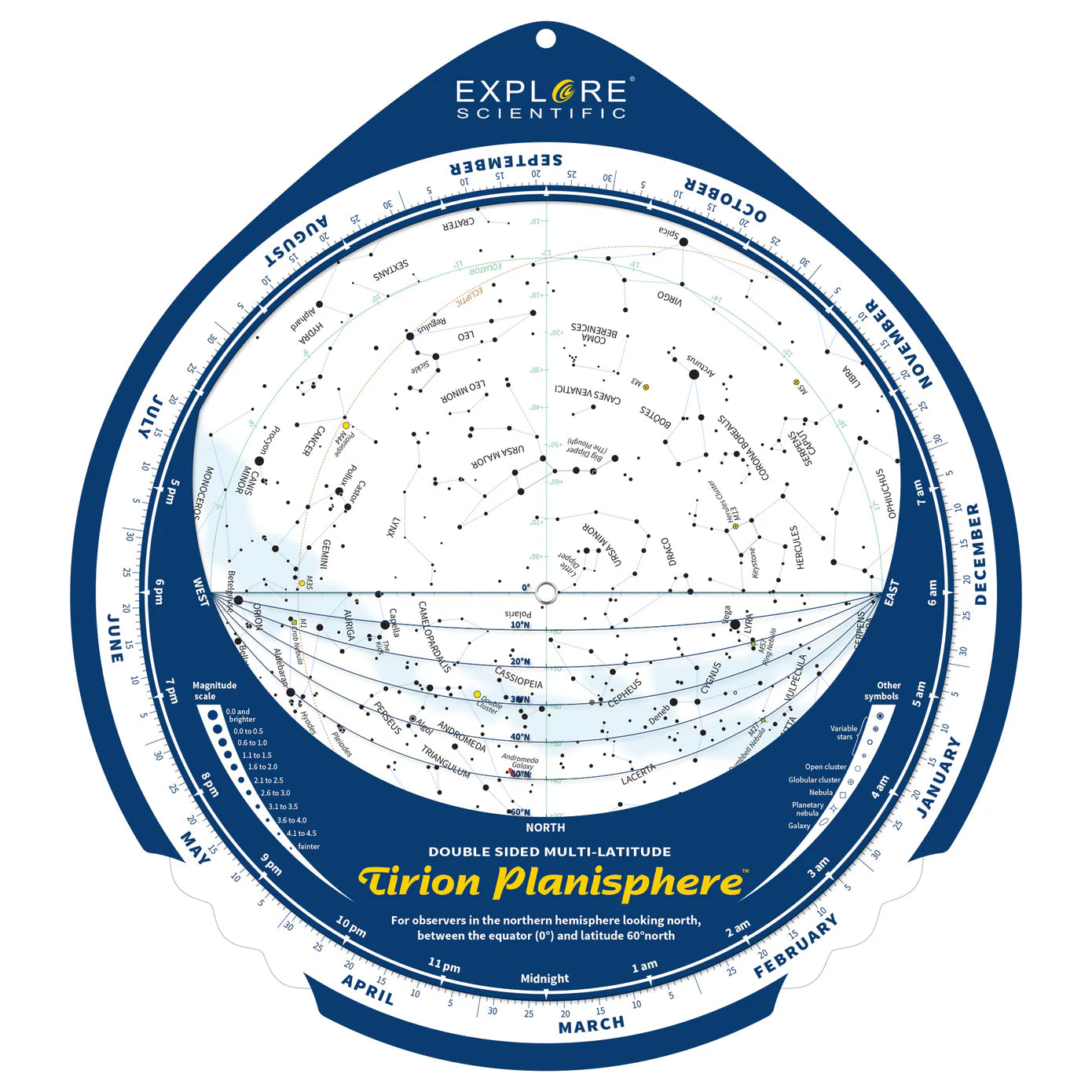
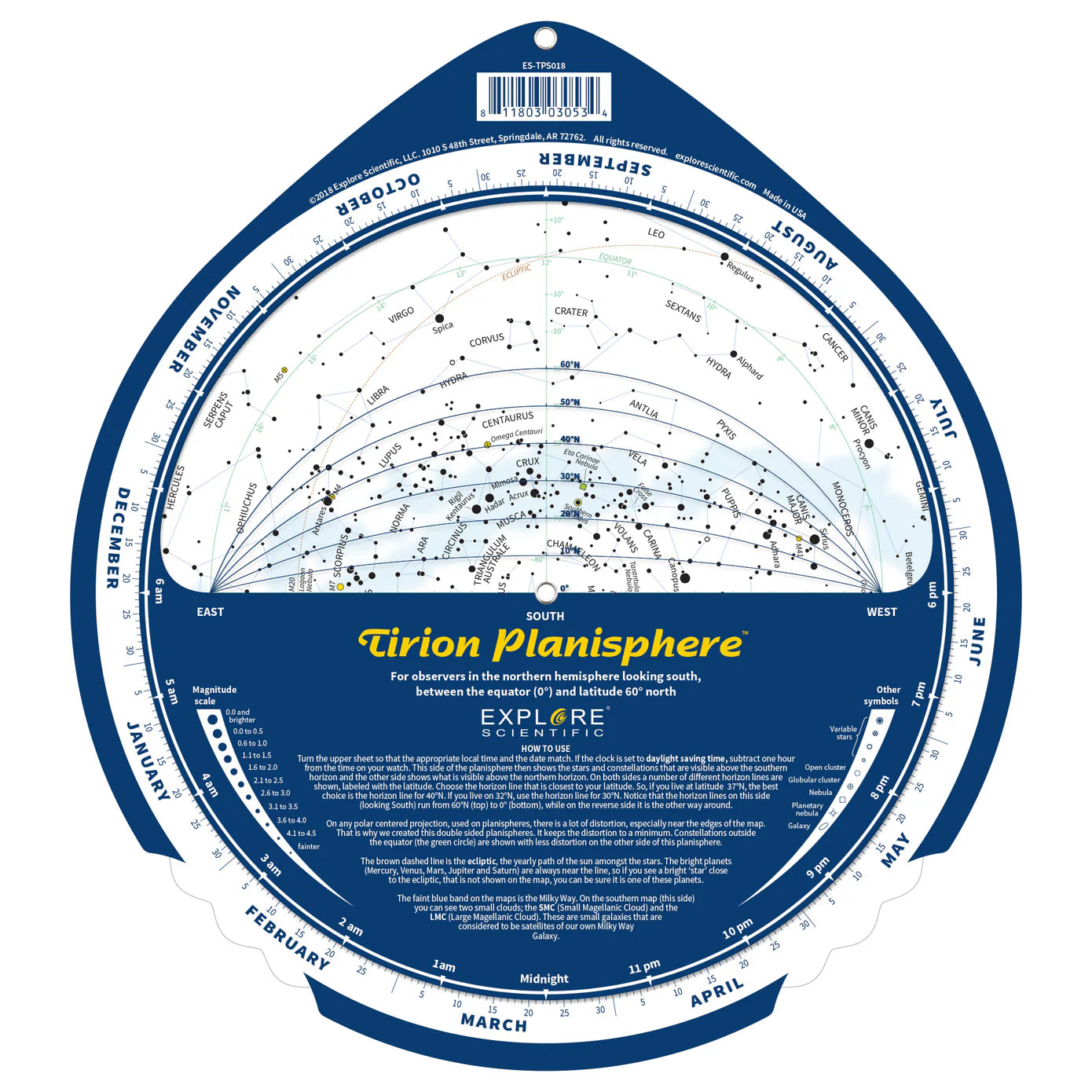
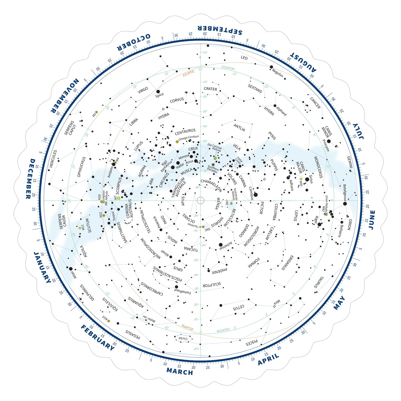
Designed by Wil Tirion, who has made star maps since the 1970s (his Sky Atlas 2000.0 appeared in 1981), this double-sided planisphere covers 0 to 60 degrees North latitude with separate southern and northern horizon views. A polar-centered map distorts most near its edges, and the planisphere’s own instructions explain that the double-sided layout keeps that distortion to a minimum.
Dial any date and time to see which stars, constellations, galaxies, nebulae, and clusters are currently visible from your location. Stars are plotted in brightness classes down to magnitude 4.5, plus fainter stars, with the Milky Way and ecliptic (planetary path) clearly marked. Durable plastic construction with non-corrosion brass rivets.
Key Features
- Double-sided design reduces distortion for greater accuracy
- Covers 0–60° North latitude in 10° increments
- Stars in brightness classes to magnitude 4.5, plus fainter stars, galaxies, nebulae, and star clusters
- Milky Way and ecliptic line clearly marked
- Durable plastic with brass rivets
Ideal For
- New stargazers learning the sky: dial the date and time to see which stars and constellations are up from your location.
- Observers who travel between latitudes, since one planisphere covers 0 to 60 degrees North, from a backyard to a campsite or dark-sky site.
-
Item Number
-
Warranty
Payment & Security
Payment methods
Your payment information is processed securely encrypted during transmission. We do not store credit card details nor have access to your credit card information.